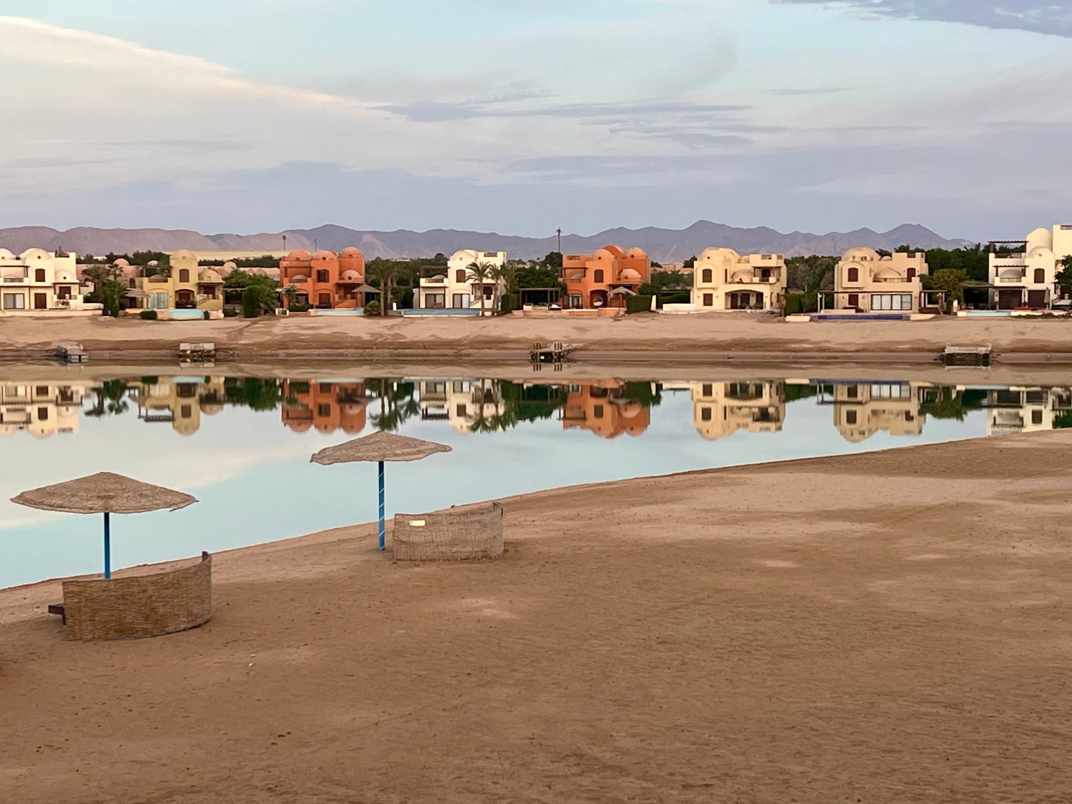
 Image: AI generated
Ras
Mohamed
Egypt's first marine national park. An 800-metre reef wall, a toilet wreck, an anemone city science cannot explain, and the strongest marine protection on the Egyptian coast.
Where two seas converge
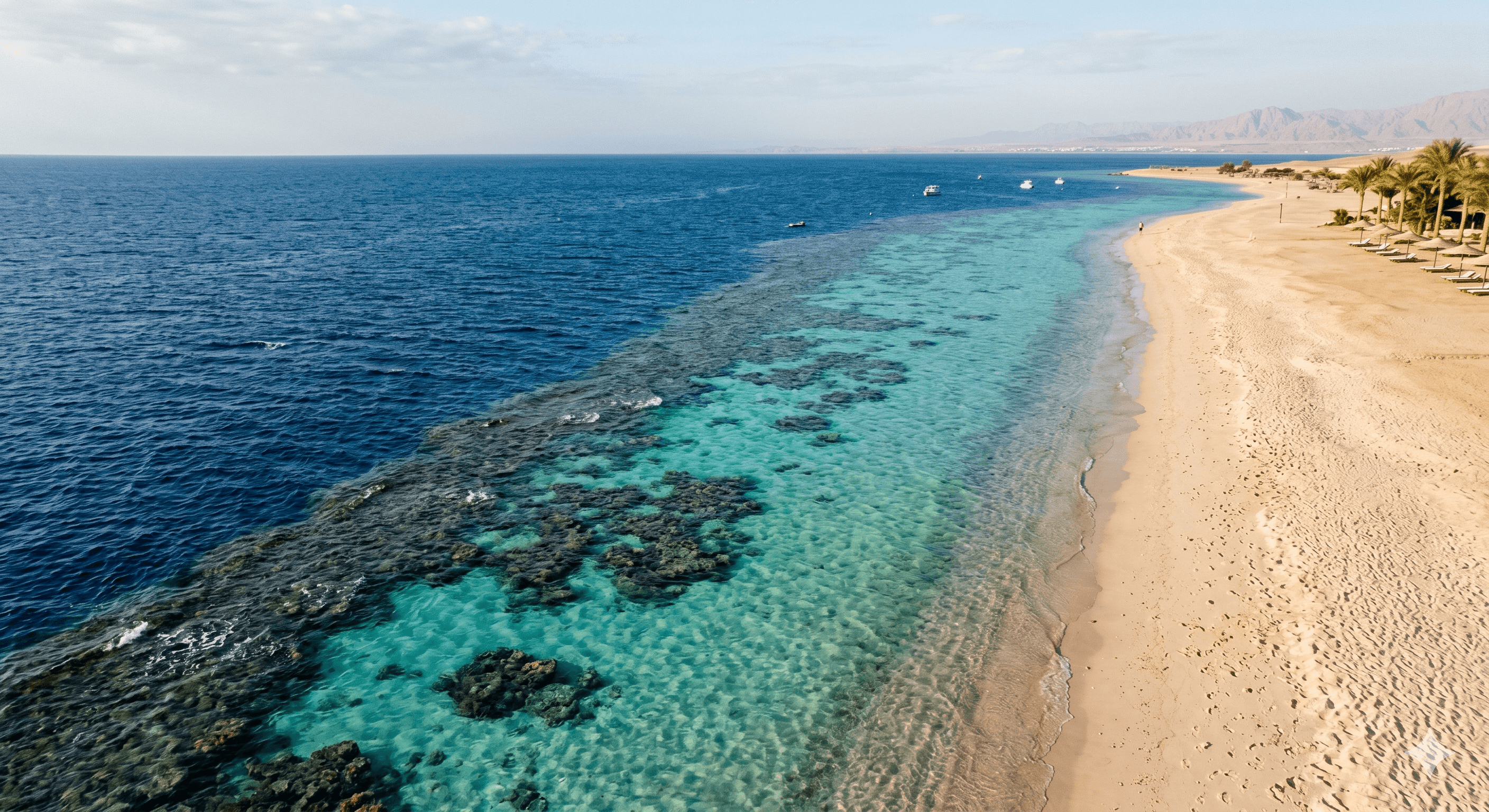
Ras Mohamed is the southernmost point of the Sinai Peninsula, the tip of land where the Gulf of Suez and the Gulf of Aqaba meet at the northern edge of the Red Sea. It is not a resort or a town. It is a national park, designated Egypt's first in 1983, and the most substantive marine protected area on the Egyptian coast.
The park covers 480 square kilometres of reef, open water and coastline. Fishing is prohibited throughout and the rule is enforced. What that level of protection produces is visible in the water: large resident fish populations, coral structures that have not been stripped by extraction, and predictable pelagic encounters. The reef wall at the park's western point drops to approximately 800 metres, driven to this richness by a current funnelling north through the strait. Approximately 15 percent of the fish species observed here are endemic to the Red Sea and found nowhere else on earth.
The two flagship sites, Shark Reef and Yolanda Reef, are separated by a shallow saddle and sit side by side on the western face of the point. Shark Reef delivers exactly what the name suggests, with grey reef sharks working the corner and seasonal hammerhead aggregations at the northern tip. Yolanda Reef is stranger and more memorable: a Cypriot freighter ran aground here in a storm in 1980 and spilled its entire cargo across the reef. The cargo was bathroom fittings. Hundreds of toilets, sinks, bathtubs and a BMW now lie on the seabed, encrusted with coral, visible in the middle of one of the best wall dives in the Red Sea.
Anemone City, a shelf at 16–20 metres just northeast of Shark Reef, holds one of the densest concentrations of giant sea anemones known anywhere on earth in an area covering less than 100 square metres. No scientific explanation for this aggregation has been established. On the north side of the point, the mangrove channel is an entirely different environment: shallow, calm and among the only accessible mangrove systems on the Sinai coast. The whole site can be covered in a day, and most divers come on day trips from Sharm, 25 minutes away by boat.
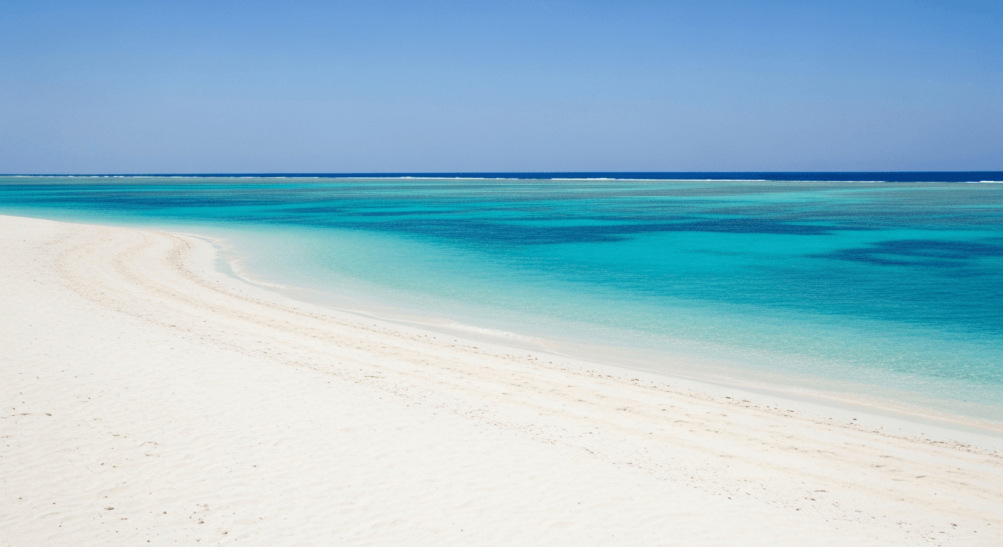
Above the water, the park has one of the best beaches on the Red Sea coast. A wide arc of white sand sits on the protected inside of the headland, facing the calm channel between the point and the open sea. The water is shallow and clear, the current negligible in the lee of the land. It is the kind of beach that is genuinely difficult to find elsewhere in Egypt: clean, undeveloped and quiet on a weekday outside peak season. Camping near the beach is available through a Bedouin guide based on site, with basic tent accommodation and two meals a day. It must be arranged in advance. It is one of the few places on the Sinai coast where you can spend the night inside a marine protected area and enter the water at first light.
Seven dive sites, one park
What protection actually looks like
Ras Mohamed was designated Egypt's first national park in 1983. The marine protected area includes the reef system around the point, the coastal strip and open water extending several kilometres offshore. Entry requires a park fee, and visitors who have not already obtained an Egyptian visa must do so before entry. The standard policy is take nothing, leave nothing, and enforcement is active rather than nominal.
The terrestrial part of the park has its own character. The headland is desert limestone, bone-dry, with cliffs dropping straight to the sea. Fossil coral formations are visible above the current waterline, evidence of old reef systems exposed as the land rises on the same tectonic forces that are slowly widening the Red Sea. The views across the strait from the point itself are exceptional: open ocean to the south, the Gulf of Suez running northwest, the Gulf of Aqaba northeast, and on a clear day the Saudi coast visible to the east.
Morning dives are the standard protocol: the best visibility and calmest surface conditions are in the first half of the day, and afternoon winds from the north regularly build sea state across the open water between Sharm and the park. Almost all dive boats arrive before 10am and are back at the marina before early afternoon.
Ras Mohamed is the clearest demonstration on the Egyptian coast of what marine protection produces when it is applied consistently. The difference between the reef here and the heavily dived sites closer to Hurghada is not subtle. We recommend it without reservation for any diver or snorkeller visiting Sharm el-Sheikh, the day trip is short, the sites are exceptional, and the park entry fee is money well spent. Book morning departures.
Getting to the park
Most visitors come on a day trip from Sharm el-Sheikh. Every dive centre in Sharm runs daily boats to the park, typically departing at 8–9am and returning by early afternoon. The crossing takes 25–30 minutes each way. Visitors arriving by road use the main entry gate on the Sharm–Ras Mohamed road; the park is 20km from the city centre. Park entry requires a fee payable at the gate, and an Egyptian tourist visa is required before arrival, arrange this at the airport. Liveaboard trips departing Sharm often stop at Ras Mohamed on the first night of a trip south. Camping within the park is available near the beach and run by a Bedouin guide based on site. The setup is basic but functional: a tent and sleeping area, a main hut, and two meals a day. It must be arranged in advance directly with the guide, this is not a walk-in operation. It is one of the few places on the Sinai coast where you can sleep inside a marine protected area, with the reef accessible from the shore at first light.
Keep reading, and open the whole Atlas.
A free account unlocks every dive site guide and map, the marine life library, member reports, and the full incident log. Free to join, always.
Join free to keep reading